As advertised, showers and thunderstorms will return to the area late tonight and continue, at times, through Thursday. Tuesday will be our greatest risk day.
Today: As of this post, numerous showers and thunderstorms have developed across central and northern Mississippi but are moving north. This area of activity should stay west of Alabama. More showers may develop along a warm front moving northeast from southwest Alabama this afternoon and may work into east Alabama / west Georgia late in the day. I think most of us stay dry this afternoon. High temps will be in the upper 70s to low 80s.
TONIGHT: Moisture will increase as our warm front continues pushing north. This is the beginning of a series of storm systems that will affect Alabama and Georgia over the next several days. As a result, showers and thunderstorms will develop and become likely, especially after midnight. Rumbles of thunder will be possible but severe weather for east Alabama tonight doesn’t look likely. The best chance for severe tonight will be in southwest Alabama. Overnight lows will be in the mid-60s.
MONDAY: Showers and thunderstorms become a good bet during the day Monday. Again, a rumble of thunder and a few strong storms are possible but widespread severe doesn’t look likely It will be warm and humid with highs in the lower 80s.
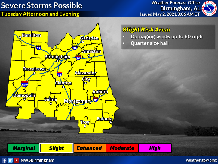
TUESDAY: I think our best overall chance of dealing with severe weather comes Tuesday as a cold front sweeps through and provides forcing for storm development. See the graphic below.

Be weather aware Tuesday! The window of opportunity seems to be Tuesday afternoon into Tuesday evening. The greatest threat will be Large Hail and damaging straight-line winds. You know what I’m going to say, protect your vehicles and outdoor pets! We are tracking this developing situation and will have full coverage on Dr. Don’s Weather.
Wednesday – Friday: Showers and storms may linger through Wednesday. For now the rest of the week and upcoming weekend looks dry though a few models are trying to develop another storm system for Friday or Saturday of next weekend. Highs will fall back into the 70s. Lows will be in the 50s.
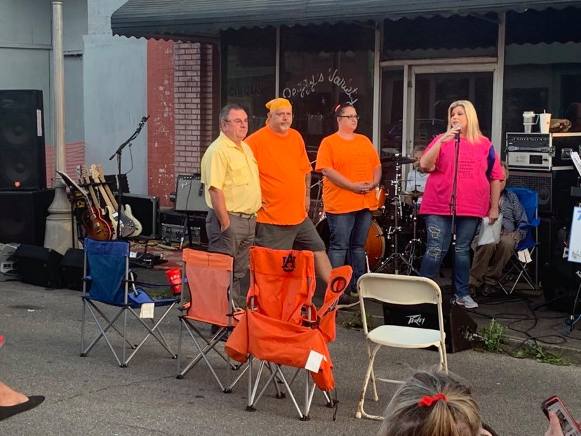
Oh What A Night: I really enjoyed my time with all of you last night at Farm Boy’s Sports Grill in Roanoke.

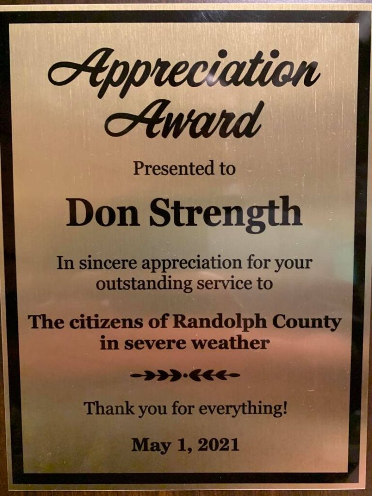
During last night’s Randolph County Tornado relief Benefit in Roanoke, AL, I was humbled and honored to receive an Appreciation Award presented by long-time friend Pat Truitt for my live coverage of the tornado that struck Randolph County the night of March 25, 2021. Click here to watch the video.

I really appreciate the recognition but as I stated last night, while I do believe God used me to help protect everyone, I give all the glory to him for no injuries or fatalities during this storm.

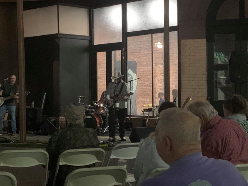
Hank Williams IV gave us an incredible show last night. Listening to Hank sing his Grandfather and Great Grandfather’s music was surreal. It was amazing. The likeness and resemblance to Sr and Jr are uncanny. If you are a Hank Williams fan, I highly suggest you see Hank Williams IV if you ever get the chance.
No Vacancy at the Inn: I will not produce a PrimeTime Forecast today, it was a long night! We planned to stay at the Key West Motel in Roanoke after the show last night. We arrived at the hotel to check in at 11:30 pm and the desk clerk advised us our reservations were no good. He told me Travelocity should have never allowed me to book a room there because they have been booked for over a month. Really?? So, we drove all the way home and slept in this morning. Still, it was a great night! I will have your Monday PrimeTime ready to go Monday morning.

