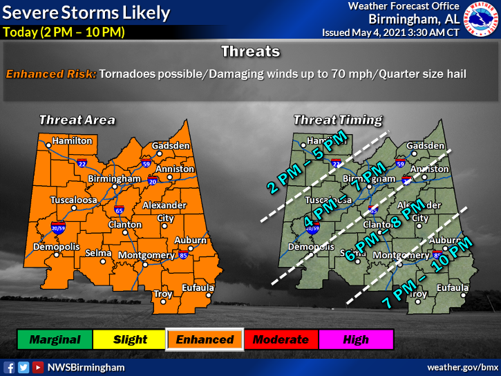
A tornado watch remains in effect for a large section of west, central, and northeast Alabama until 4 pm this afternoon.
Showers and thunderstorms, mainly across northeast Alabama stretching back to central Mississippi continue to move east.
Destabilizing airmass over Mississippi is expected to slide east this afternoon allowing for the development of more storms which will have the ability to produce tornadoes, damaging straight-line winds, and large hail. Flash flooding may also become an issue as some locations could receive between 1-3 inches of rain this afternoon.


