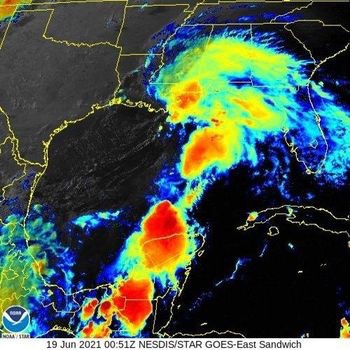
Tropical Storm Claudette was born this morning around 4:AM central in the northern Gulf of Mexico.
LOCATION...29.6N 90.7W
ABOUT 45 MI...75 KM SW OF NEW ORLEANS LOUISIANA
ABOUT 175 MI...280 KM WSW OF MOBILE ALABAMA
MAXIMUM SUSTAINED WINDS...45 MPH...75 KM/H
PRESENT MOVEMENT...NNE OR 15 DEGREES AT 12 MPH...19 KM/H
MINIMUM CENTRAL PRESSURE...1006 MB...29.71 INCHES
Claudette is expected to slowly move inland across Louisiana this morning then turn northeast across southern Mississippi, southwest Alabama and across east Alabama and west Georgia by this evening into Sunday morning.

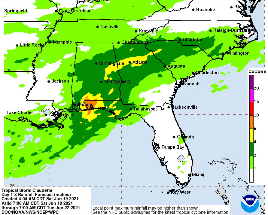
Rain will slowly increase later this morning and become heavy by this afternoon. Showers and occasional thunderstorms will continue through Sunday morning and become scattered by Sunday afternoon. While it may be breezy with gust to 20 mph, wind is not a major threat with this storm. A flash flood watch is in place for all of central and east Alabama and west Georgia for up to 5”+ of rain.

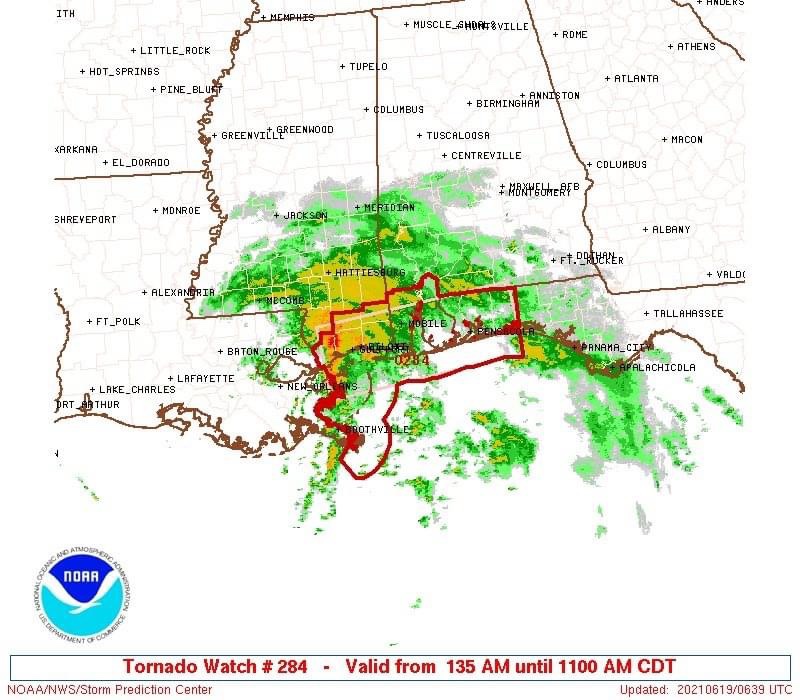
Tornadoes are possible along the Alabama and Florida coastal regions this morning. A tornado watch is in place in southwest Alabama.

I will go live at 8:AM this morning with the latest information.

