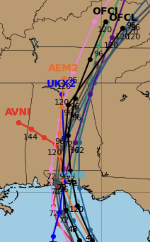
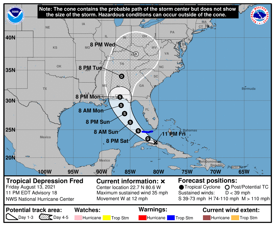
The latest guidance suggests a Pensacola landfall Monday and a track up through central Alabama keeping all of east Alabama and west Georgia on the dirty side of the storm. If this is correct, 2”-4” of rain, winds of 30-40 mph and a few isolated tornadoes will be possible late Monday into Tuesday across the area. I will have the latest tomorrow morning.


